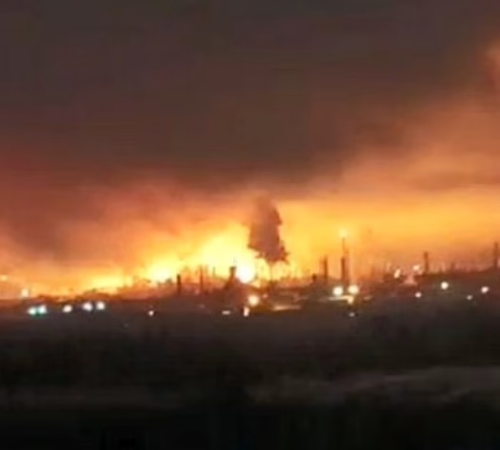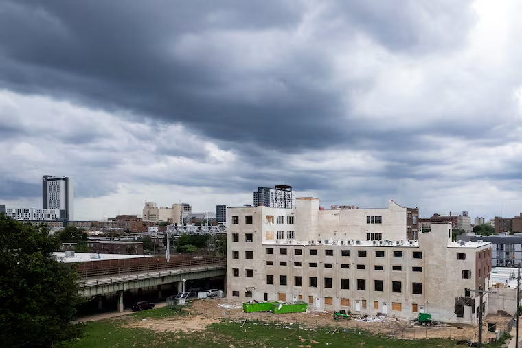
Severe Philadelphia region storms swept through the Delaware Valley on Thursday, August 20, delivering heavy rain, flash flooding, damaging winds and an unusual concentration of tornado activity for the area.
At least eight tornado warnings were issued across the region. One tornado was confirmed on the ground.
The Confirmed Touchdown
Officials verified that a tornado touched down in Dover, Delaware.
Confirmation typically follows a damage survey, in which meteorologists examine the pattern of destruction to determine whether rotation was involved and to assign an intensity rating.
The distinction matters because straight-line winds from a severe thunderstorm can cause damage that looks similar to the untrained eye. Investigators look at the direction debris traveled and how structures failed to tell the difference.
The Warnings and Watches
A tornado watch covered portions of Delaware, New Jersey, Pennsylvania and Virginia until 10 p.m., according to the National Weather Service.
A First Alert for heavy rain, severe storms and tornadoes remained in effect until 9 p.m.
The difference between a watch and a warning is worth restating, because it governs how people should respond.
A watch means conditions are favorable for tornadoes to develop across a broad area. It is a signal to stay alert and have a plan.
A warning means a tornado has been detected by radar or spotted on the ground. It is a signal to take shelter immediately.
Eight warnings across a single region in one evening indicates a storm system producing repeated rotation rather than a single isolated cell.
The Flooding Problem
Beyond the tornado threat, the storms delivered heavy rain in multiple rounds, which produced flash flooding.
Successive rounds are what makes flash flooding likely. The first wave saturates the ground and fills drainage systems. Everything that follows has nowhere to go and runs off immediately into streets, underpasses and low-lying areas.
Urban and suburban terrain amplifies the effect. Pavement prevents absorption, and stormwater systems built for older rainfall assumptions fill quickly.
Why This Region Sees Fewer Tornadoes
Tornadoes are less common in the mid-Atlantic than in the Plains, though they are far from unheard of.
The relative rarity creates a specific risk. Residents in areas that experience frequent tornadoes generally know where their shelter is and respond automatically to warnings. In regions where warnings arrive occasionally, people are more likely to look out the window than to move to a basement.
That hesitation costs time, and tornado warnings often provide only minutes.
What to Do During a Tornado Warning
The guidance is simple and consistent:
- Move to the lowest floor of a sturdy building, ideally a basement
- Position yourself in an interior room away from all windows
- Put as many walls between yourself and the outside as possible
- Cover your head and neck
- Leave mobile homes and vehicles for a permanent structure
- Never attempt to outrun a tornado in a car
If caught outdoors with no shelter available, a low-lying ditch away from vehicles and trees is the last resort.
Flood Safety
The advice during flash flooding is even more straightforward, and it is ignored more often than any other weather guidance.
Do not drive through standing or moving water. Depth is impossible to judge from inside a vehicle, and a surprisingly shallow current can float a car.
Do not walk through moving water either. Six inches can knock an adult off balance.
Avoid underpasses and low roadways during heavy rain, since these fill first and drain last.
The Aftermath
Cleanup work follows storms of this type, including clearing downed trees, restoring power where lines came down and pumping water from flooded structures.
The National Weather Service may conduct additional surveys in areas where damage patterns suggest tornado activity beyond the confirmed Dover event. Not every warning corresponds to a touchdown, and not every touchdown is immediately confirmed.
For now, the Philadelphia region storms have passed, leaving one verified tornado, a stretch of flooded roads and a reminder that severe weather in the mid-Atlantic can escalate quickly on an August evening.
Author