Trump national monument cuts have dramatically redrawn the map of two of Utah’s most treasured wild landscapes, stripping federal protections from beloved hikes, arches, and archaeological sites across Grand Staircase-Escalante and Bears Ears. Newly obtained maps reveal just how sweeping the reductions are, leaving many iconic destinations exposed while others narrowly remain within the shrunken boundaries.
The Scale of the Reductions
The changes are anything but minor. President Trump ordered cuts to more than 90% of both Utah monuments, and the maps detailing the new boundaries were obtained from the White House just less than a day later.
To make sense of the impact, the new boundaries were overlaid, based on the images provided along with roads and geographic features, against the far larger boundaries previously declared by earlier presidents. That comparison, combined with dozens of mapped places of interest, paints a stark picture of what has been lost and what has been preserved.
The analysis also factored in other protective designations beyond national monument status, including Wilderness Study Areas, Instant Study Areas, and Areas of Critical Environmental Concern. These layers help reveal which cherished sites are now left without any safeguard.
A Tale of Two Monuments
The two monuments differ significantly in size and character, which shapes how the cuts affect each one.
Grand Staircase-Escalante, known as GSENM, is the larger of the pair and has been more thoroughly explored over the years. As a result, far more documented sites fall outside the new protective lines there.
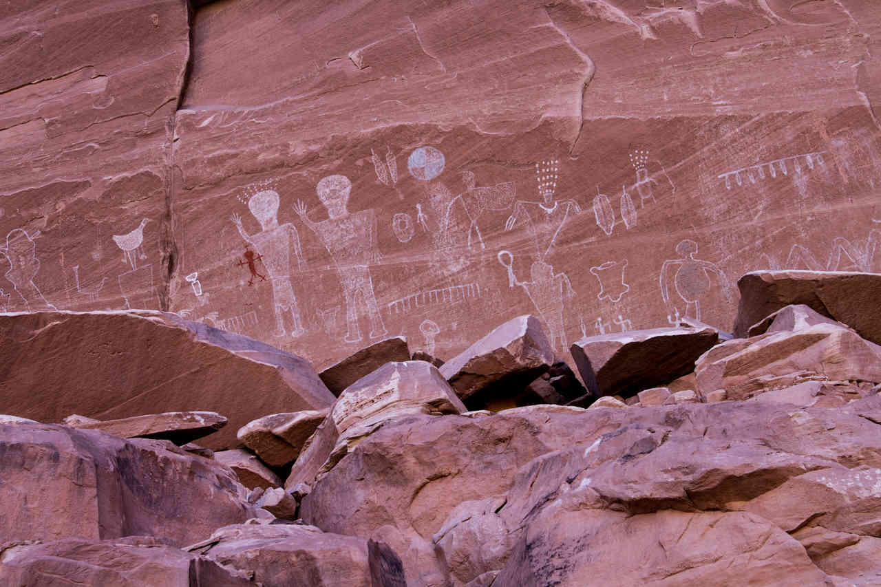
Bears Ears presents a more complicated case. It earned its monument designation largely because of its wealth of archaeological treasures. Many of these sites have deliberately been kept out of the public eye to protect them from vandalism and artifact theft. Because BLM records sometimes reference these locations without disclosing their coordinates, they cannot be reliably mapped, meaning the true toll on Bears Ears may be harder to fully capture.
What Remains Protected
Despite the sweeping cuts, several of the most famous attractions still fall within Trump’s redrawn boundaries. At Bears Ears, well-known destinations such as House on Fire, the Butler Wash ruins, Sand Island Petroglyphs, and the Mule Canyon kiva remain protected.
Grand Staircase-Escalante retains some of its highlights as well, including the scenic western stretch of Burr Trail Drive, Calf Creek Falls, Lower and Micro Death Hollows, and Phipps Arch.
Others enjoy a more tenuous form of protection. Many popular GSENM sites now sit within Wilderness Study Areas, which are not permanent and have been placed under review by the Trump administration, though they remain protected for the time being. These include:
- Devil’s Garden
- The Peekaboo-Spooky-Brimstone slot canyons
- Cosmic Ashtray
- Bighorn Canyon
- Cottonwood Narrows
- Toadstools and Wahweap hoodoos
What’s Been Left Unprotected
The list of sites now stripped of protection is extensive, particularly at Grand Staircase-Escalante. Among the notable places left outside the new boundaries are Grosvenor Arch, the Sunrise and Sunset arches, Cedar Wash Arch, Chimney Rock, Dance Hall Rock, the historic Watson Canyon, Inchworm Arch, the Lamp Stand, and the Nautilus.
Bears Ears has lost ground too. North and South Six Shooter Peak now fall outside the protected area, along with three campgrounds in the Indian Creek region.
The Access Problem
In some cases, the situation is more nuanced than a simple in-or-out divide. Certain renowned destinations retain protection themselves, but the trailheads or routes needed to reach them do not.
Examples of this access gap include Zebra slot canyon, Willis Creek, and Round Valley Draw in GSENM, along with Monarch Cave in Bears Ears. Even iconic spots like Buckskin Gulch and Jacob Hamblin Arch, which were never actually inside the monuments, are affected, since their most commonly used trailheads fell within the old boundaries and are now unprotected under the new maps.
The Bigger Picture
The redrawn boundaries represent one of the most significant rollbacks of public land protections in recent memory, reshaping access to landscapes that draw hikers, researchers, and nature lovers from around the world. While some of the best-known sites remain safeguarded for now, many others, along with the paths that lead to them, have been left vulnerable.
As Wilderness Study Areas face ongoing review and the full impact on Bears Ears’ hidden archaeological sites remains unclear, the future of these landscapes hangs in the balance. For those who cherish Utah’s wild country, the new maps serve as both a warning and a call to pay close attention to what happens next.
Author