Round Butte Fire Forces Evacuations Near Madras as Rare Fire Weather Alert Hits Central Oregon
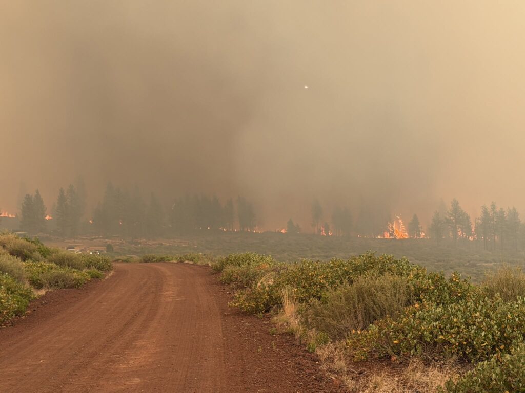
A Round Butte Fire evacuation order went out Saturday afternoon after a new vegetation fire ignited roughly five miles west of Madras, arriving on a day meteorologists had already flagged as exceptionally dangerous for anyone working a fire line in Central Oregon.
The fire was reported at approximately 4:21 p.m. in the 5500 block of Southwest Boulder Lane in Jefferson County, on the southern side of Round Butte.
Evacuation Zones in Effect
The Jefferson County Sheriff’s Office moved quickly, issuing a layered set of notices.
A Level 3 order, meaning leave immediately, covers the SW and SW 16 area.
A Level 2 warning applies to the city of Metolius, along with SW 15, the western portion of SW 9 west of Bear, and the southern boundary of NW 10.
A Level 1 notice was issued for Northwest 10.
An interactive map of the evacuation zones is available online, and the sheriff’s office is posting updates through its Facebook page. Residents near the fire were urged to register for emergency alerts at oralert.gov.
Understanding the Three Levels
Oregon’s system uses a straightforward progression, and knowing the difference can save critical minutes.
Level 1, Be Ready. Danger exists in the area. Residents should monitor local media and stay informed. Anyone with special needs should begin arranging for departure. Leaving at this stage is voluntary.
Level 2, Be Set. Significant danger is present. Residents should either relocate voluntarily to a shelter or outside the affected zone, or if they choose to stay, be prepared to leave instantly. Emergency services cannot promise they will be able to notify anyone if conditions worsen rapidly.
Level 3, Go Now. Danger is current or imminent. Leave immediately. Monitor local media and watch for emergency personnel who may arrive with additional instructions.
Fire Size and Location
Just before 5 p.m., the Round Butte Fire was estimated at 50 acres.
Its position matters. The fire is burning across the Deschutes River from the Bench Fire, a much larger incident that has consumed more than 67,000 acres in and around Warm Springs. Containment on the Bench Fire had improved to 46 percent.
Two active fires separated only by a river creates obvious complications for resource allocation and for residents trying to determine which direction is safe.
A Warning Forecasters Rarely Issue
The National Weather Service applied a “particularly dangerous situation” designation to Saturday’s conditions, a label that sits above the standard Red Flag Warning.
NWS incident meteorologist trainee Dylan Flynn explained what separates the two. Red Flag Warnings have existed for decades with no tier above them, and the newer designation was created for conditions you would not expect to encounter annually. On average, he said, a given area might see one every three to five years.
That rarity is the entire point of the label. It signals to firefighters that this is not a routine bad day.
What Drove the Alert
Flynn described the setup as fundamentally wind-driven.
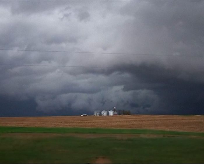
A cold front was moving in, bringing westerly winds around 20 miles per hour with gusts reaching 30. Those winds were expected to shift gradually to a northerly direction as the evening progressed.
Wind shifts are among the most hazardous elements of fire behavior because they redirect a fire’s head without warning, potentially sending flames toward crews positioned on what had been a flank.
Combined with heat and low humidity, the conditions raised the likelihood of both rapid spread on existing fires and new ignitions.
Firefighter Safety Comes First
Flynn was direct about what the designation is meant to protect.
He said the primary concern when a particularly dangerous situation is declared is firefighter safety, noting that conditions like these can be dangerous or even deadly for personnel on the line.
Meteorologists briefed crews before they deployed Saturday, walking through the specific timing of the wind changes and the directions to expect so everyone had the same picture.
From there, Flynn said, standard safety protocols govern. Crews post lookouts in exposed positions where they can observe weather and maintain communication with base. They establish clear escape routes. They identify safety zones to retreat to if conditions deteriorate.
Those practices exist because fires have killed firefighters when any one of them broke down.
Relief Coming, Then Trouble Again
There is short-term good news in the forecast.
Flynn said conditions should ease overnight. With the cold front passing through, Sunday morning will bring notably cold air behind it. That drop raises humidity, which makes it harder for fire to burn and gives crews an opening.
He indicated Sunday and Monday should offer a meaningful break.
The concern shifts to midweek. Meteorologists are watching Tuesday, Wednesday and Thursday, when hot and dry conditions are expected to return.
That pattern, a brief reprieve followed by renewed heat, is what determines whether crews can convert the break into durable containment lines or whether they simply hold position until the next dangerous stretch arrives.
What Residents Should Do
For those in or near the affected zones, several priorities apply now.
Take Level 2 seriously rather than treating it as a suggestion. The sheriff’s office explicitly warned that notification cannot be guaranteed if conditions change fast.
Register for oralert.gov if you have not already. Alerts reach phones faster than social media posts.
Check the interactive map rather than relying on descriptions of boundaries, which are difficult to interpret from memory.
Prepare for the possibility of upgrades. Zone levels moved quickly during this incident, and a Level 1 area can become Level 3 in a short span under wind-driven conditions.
Author
-
Lucienne Albrecht is Luxe Chronicle’s wealth and lifestyle editor, celebrated for her elegant perspective on finance, legacy, and global luxury culture. With a flair for blending sophistication with insight, she brings a distinctly feminine voice to the world of high society and wealth.