The Southern California heat wave tightened its grip on Sunday, pushing inland communities deep into triple digits while the coast stayed comparatively mild. It is the kind of split that catches people out: someone in Santa Monica can spend the afternoon in a sweater while a friend an hour inland is dealing with genuinely dangerous conditions.
Sunday’s forecast called for 90s across Los Angeles County away from the shoreline and low 100s through the Inland Empire.
The Numbers Get Worse Inland
The desert regions and the Central Valley were expected to bear the worst of it.
Forecasters projected highs near 109 around Victorville, 110 in the Antelope Valley and 112 in the Coachella Valley. The San Joaquin Valley was looking at readings up to 110, while Yosemite Valley was expected to approach 98.
The National Weather Service kept a heat advisory in effect for most of Southern California outside the immediate coastal strip, signaling a real risk of heat-related illness. Desert areas and the San Joaquin Valley were placed under the more serious extreme heat warning.
Saturday Already Delivered
The weekend’s readings gave a sense of what the region was working with.
Death Valley reached 124. Needles hit 117, Palm Springs 116, Barstow 111. Bakersfield and Ukiah both recorded 108. Lancaster, Fresno, Hanford and Bishop all reached 106. Palmdale, Chino and Madera saw 104, Riverside 103, Ontario and Merced 102, and Paso Robles touched 100.
Farther north, Sacramento and Modesto recorded 99, Burbank and Stockton 98. Long Beach reached 93 and downtown Los Angeles 92.
Death Valley came within a single degree of its record for August 8, set in 1998 at 125. For perspective, the average high there on that calendar date is 117.
Fullerton did set a record, climbing to 97 and passing the previous mark of 96 from 2018.
The Coastal Contrast
Meanwhile, the beaches were another world entirely.
San Diego International Airport topped out at 81 on Saturday. LAX reached 79 and Santa Barbara 78. San Francisco managed only 62, and Monterey 66.
That gap is the defining feature of a California heat event. Marine air keeps the immediate coast livable while communities thirty or forty miles inland face conditions that can turn serious quickly.
The Overnight Problem Nobody Talks About
Health officials flagged something that often gets lost behind the daytime maximums: the nights are not cooling off enough.
This matters more than most people realize. The human body recovers from heat exposure primarily during cool overnight hours. When temperatures stay elevated after dark, that recovery window closes, and heat stress accumulates day over day. For anyone without air conditioning, the third or fourth night is typically far more dangerous than the first.
The Los Angeles County Department of Public Health offered practical guidance for households without cooling.
Take cool showers or baths rather than waiting to feel unwell. Skip the stove and oven entirely, since cooking indoors can add several degrees to a small home. Spend part of the day somewhere air-conditioned, whether that is a library, a designated cooling center, a shopping mall or a community building.
A few additions worth remembering: drink water steadily instead of waiting for thirst, close blinds on sun-facing windows during the day, and check on elderly neighbors and anyone living alone. Never leave children or pets in a parked vehicle, which becomes lethal within minutes at these temperatures.
Fire Weather and Mountain Storms
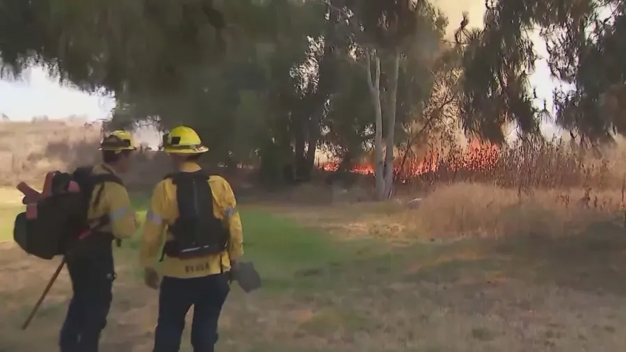
Elevated fire weather conditions were forecast to persist through Monday, a predictable consequence of prolonged heat drying out vegetation across the region.
Complicating matters, Sunday and Monday also carried a risk of monsoonal thunderstorms over the mountains of Los Angeles, San Diego, Riverside and Ventura counties, along with the Antelope Valley.
That combination is a familiar hazard in California. Monsoonal storms can produce lightning without delivering meaningful rainfall, which means ignition without suppression. Dry fuel plus lightning is how large fires begin.
Water Arriving From the Other Direction
While inland residents dealt with heat, the coast faced a separate issue entirely.
High tides were expected to bring flooding risk to portions of California through the coming days. San Francisco Bay and Monterey Bay were flagged for possible flooding of parking lots, parks and roadways through early Thursday morning.
The San Francisco tidal gauge was projected to run roughly a foot and a half above normal at high tide just after 9 p.m. Sunday. Forecasters attributed the elevated levels to two factors working together: unusually warm ocean temperatures, which cause water to expand, and accumulated sea level rise. Along the Pacific coast and San Francisco Bay, actual high tide timing can shift up to 90 minutes in either direction.
Southern California beaches were expected to see minor coastal flooding beginning Monday evening and continuing through Wednesday night, affecting Los Angeles, San Diego, Orange, Ventura and Santa Barbara counties.
The Oxnard weather service office said seawater flooding is likely around high tide in low-lying vulnerable areas including parking lots, beaches and walkways, while noting that significant damage to roads or structures is not anticipated.
What to Watch
Three overlapping hazards in a single stretch of days is a lot to track, but the priorities are clear enough.
Inland, the concern is cumulative heat exposure and the absence of overnight relief. In the foothills and mountains, it is dry lightning finding parched fuel. Along the coast, it is timing beach trips and parking around tide tables rather than assuming conditions will look the way they did last week.
Conditions can shift quickly during events like this, so checking current National Weather Service alerts for your specific area remains the most reliable move.
Author
-
Lucienne Albrecht is Luxe Chronicle’s wealth and lifestyle editor, celebrated for her elegant perspective on finance, legacy, and global luxury culture. With a flair for blending sophistication with insight, she brings a distinctly feminine voice to the world of high society and wealth.