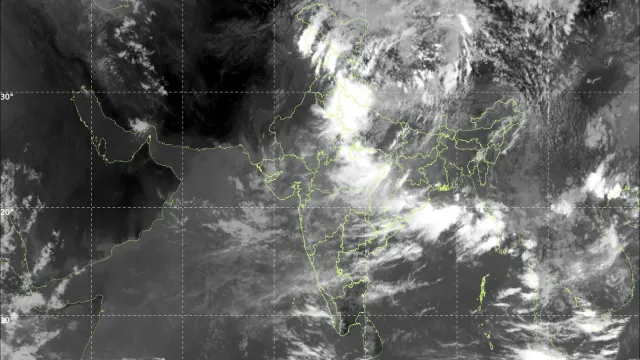
A record El Niño NOAA forecast released Thursday has raised the stakes considerably. Federal forecasters now put the odds at close to 70 percent that the developing Super El Niño will become the most intense event of its kind ever measured — a sharper assessment than the agency offered only weeks ago.
What Changed
NOAA’s previous language was more restrained. The agency had described this event as likely to rank among the largest in the historical record, which left room for it to fall short of the top spot.
Two developments prompted the upgrade.
The first is speed. This El Niño is intensifying unusually quickly, outpacing earlier expectations for how fast conditions would develop.
The second is model consensus. Computer guidance is now nearly unanimous in projecting a peak in late autumn and early winter at a strength above what forecasters had previously anticipated.
NOAA’s intensity records for these events reach back to 1950, giving roughly three-quarters of a century of comparison.
A Refresher on the Mechanism
El Niño describes a recurring climate pattern in which ocean temperatures across the central and eastern tropical Pacific climb above their normal range.
That warmer water does not stay contained to the ocean. It pumps enormous quantities of heat into the atmosphere through cloud formation and heavy rainfall, and that atmospheric energy redistributes weather patterns worldwide.
The typical consequences are well documented: drought conditions favoured across Indonesia and Australia, flooding in parts of South America, and a long list of knock-on effects elsewhere. El Niño also raises the likelihood of tropical cyclone activity in the Pacific.
The Numbers Behind the Call
Intensity is measured by comparing sea surface temperatures in a benchmark region of the tropical Pacific against their long-term average.
Forecasters expect anomalies in the Niño region to surpass 2.5 degrees Celsius above average, calculated over a three-month period so that short-lived fluctuations do not distort the reading.
If that verifies, it would exceed the enormous 1982-83 Super El Niño, which has held the record for intensity ever since.
The Measurement Problem — and the Fix
There is a genuine scientific wrinkle here that deserves explanation.
Long-term climate change has lifted background ocean temperatures across the tropics over recent decades. That rising baseline can actually obscure the El Niño signal, because a warmer starting point makes the anomaly look smaller relative to what is now normal.
To handle this, NOAA has adopted a newer metric called the Relative Oceanic Niño Index, or RONI, which factors the broader warming trend into the calculation.
The significant point is that even after applying that adjustment — which effectively handicaps the event against the warming baseline — this El Niño still tracks toward unprecedented territory.
An Expert Assessment
University of California climate scientist Daniel Swain, speaking in a YouTube briefing this week, described the situation as a genuinely remarkable event.
He noted that conditions have already reached record-breaking or record-tying levels, with expectations that the numbers will climb sharply from here.
Genuinely Uncharted
Every El Niño behaves somewhat differently, and this one presents a combination never observed before.
Two firsts are stacking. There has never been an El Niño of this intensity. And there has never been a powerful El Niño occurring against a background climate this warm.
That pairing makes outcomes difficult to predict with confidence. Experts describe the impacts as something of a wild card, with global warming and El Niño potentially reinforcing one another to intensify heat waves and other disasters.
A Necessary Caveat
NOAA forecasters were careful to attach a qualification to their own headline.
A record-strength El Niño does not automatically translate into dramatically worse impacts, nor does it guarantee that the usual effects will materialise across most of the regions typically affected.
What it does is shift the odds. Typical El Niño outcomes become more likely, particularly during autumn and winter when the pattern exerts its strongest influence on Northern Hemisphere weather.
What the US Might See
For the United States, the classic El Niño winter signature includes:
- Wetter than usual conditions running from California eastward across the southern tier of states through to Florida
- Milder and drier than average conditions across portions of the Midwest
Those are tendencies rather than certainties. Individual storms and seasonal totals will still depend on factors El Niño does not control.
The Temperature Consequence
El Niño reliably nudges global average temperatures upward, and the mechanism is worth picturing clearly.
Think of an escalator moving steadily upward — that is human-caused warming, the persistent long-term trend. El Niño events are steps on that escalator, brief upward jumps riding on top of the continuous rise.
Given this event’s projected strength, NOAA’s assessment is that 2027 is virtually certain to become the hottest year ever recorded. There is also a possibility that 2026 claims the title first.
The Broader Point
The most useful way to read this forecast may not be as a prediction about any single season.
It is a demonstration of how two systems interact. Natural variability has always produced warm years and cool years. What is different now is the elevation from which that variability starts.
An El Niño of this magnitude arriving in a climate this warm is not a repeat of 1982. It is a new configuration, and the coming months will supply the first real data on what that configuration produces.
Author
-
Lucienne Albrecht is Luxe Chronicle’s wealth and lifestyle editor, celebrated for her elegant perspective on finance, legacy, and global luxury culture. With a flair for blending sophistication with insight, she brings a distinctly feminine voice to the world of high society and wealth.