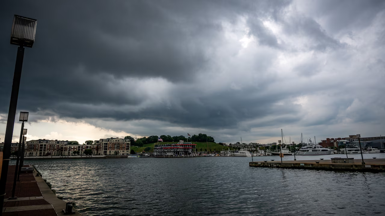
Maryland Braces for Another Violent Evening: Flash Floods, 60 MPH Gusts and Tornado Risk
Maryland severe thunderstorms are lining up for another assault on the Baltimore region, with flood watches already posted and forecasters warning that tornado warnings could follow at any point during the evening.
For a state that has spent much of this summer cleaning up after one storm system before the next arrives, the outlook offers little reassurance.
When the Weather Turns
The National Weather Service has urged residents to stay alert as conditions deteriorate. Heavy rainfall is expected to begin before 5 p.m., with activity scattering out and continuing through the evening hours.
Temperatures during the day should reach the high 80s, providing exactly the kind of warm, unstable atmosphere that fuels intense thunderstorm development.
The Three Main Threats
Forecasters have identified several hazards, though they are not weighted equally.
Wind gusts could reach 60 mph, strong enough to snap tree limbs, topple weakened trunks and pull down power lines. Meteorologists have also flagged the possibility of an isolated tornado, a phrase that acknowledges the risk without suggesting a widespread outbreak.
The larger concern, according to NWS meteorologist Andrew Snyder, is flash flooding, particularly as the evening progresses. Ground conditions and drainage capacity become critical once repeated rounds of rain move over the same areas.
The Dangerous Window: 8 to 10 P.M.
Local meteorologist Justin Berk narrowed the timing of the most severe activity, pointing to a roughly two-hour stretch between 8 p.m. and 10 p.m. as the period of greatest concern.
During that window, storms may organize into bow echoes. The term describes a curved, forward-bulging signature on radar produced by fast-moving storm complexes, and it typically indicates damaging straight-line winds of at least 60 mph across a broad path.
Bow echoes tend to cause damage over wider areas than isolated tornadoes do, even though they attract less public attention. Downed trees and extended power outages are common outcomes.
Berk also highlighted a significant lightning threat, noting that conditions could prompt forecasters to issue additional watches as the situation evolves.
Monday Brings More Rain, Less Intensity
The unsettled pattern is not expected to clear out immediately. Widespread showers are likely to persist into Monday, though forecasters anticipate a meaningful drop in intensity compared with Sunday evening.
That distinction matters for recovery efforts. Lighter rain still complicates cleanup and keeps saturated ground from draining, but it substantially reduces the risk of new wind damage.
A Summer of Repeated Blows
The current forecast lands on a state already worn down by an unusually active storm season.
Maryland has cycled through frequent severe weather this summer, and the damage has accumulated in ways residents will recognize:
Trees uprooted or split, often falling onto homes, vehicles and roadways
Fires ignited by lightning strikes
Power outages affecting neighborhoods repeatedly rather than once
Each round of storms arrives with ground already saturated and vegetation already stressed, which lowers the threshold for new damage. A tree weakened by an earlier storm may come down in winds that would not have troubled it in June.
What Residents Should Do
The layered nature of the threat, wind, water and lightning all in play, calls for a few basic precautions.
Charge devices before the evening storms arrive, since outages are a realistic possibility. Move vehicles away from large trees where practical. Avoid driving through flooded roadways, which remains the leading cause of flood-related deaths and is particularly dangerous after dark when depth is impossible to judge.
Keep a means of receiving warnings that does not depend on electricity. Tornado warnings during an evening storm complex often come with very little lead time, and a phone alert may be the only notice available.
The Bigger Picture
What stands out about this summer in Maryland is not any single storm but the pattern itself. Systems have arrived at a pace that leaves little time between events for utility crews to fully restore service or for homeowners to complete repairs.
Sunday evening’s storms will test that fatigue again. Forecasters have been clear about the timing and the hazards, which gives residents something they do not always get in severe weather: a few hours of advance notice to prepare before the sky turns.
Author
-
Lucienne Albrecht is Luxe Chronicle’s wealth and lifestyle editor, celebrated for her elegant perspective on finance, legacy, and global luxury culture. With a flair for blending sophistication with insight, she brings a distinctly feminine voice to the world of high society and wealth.