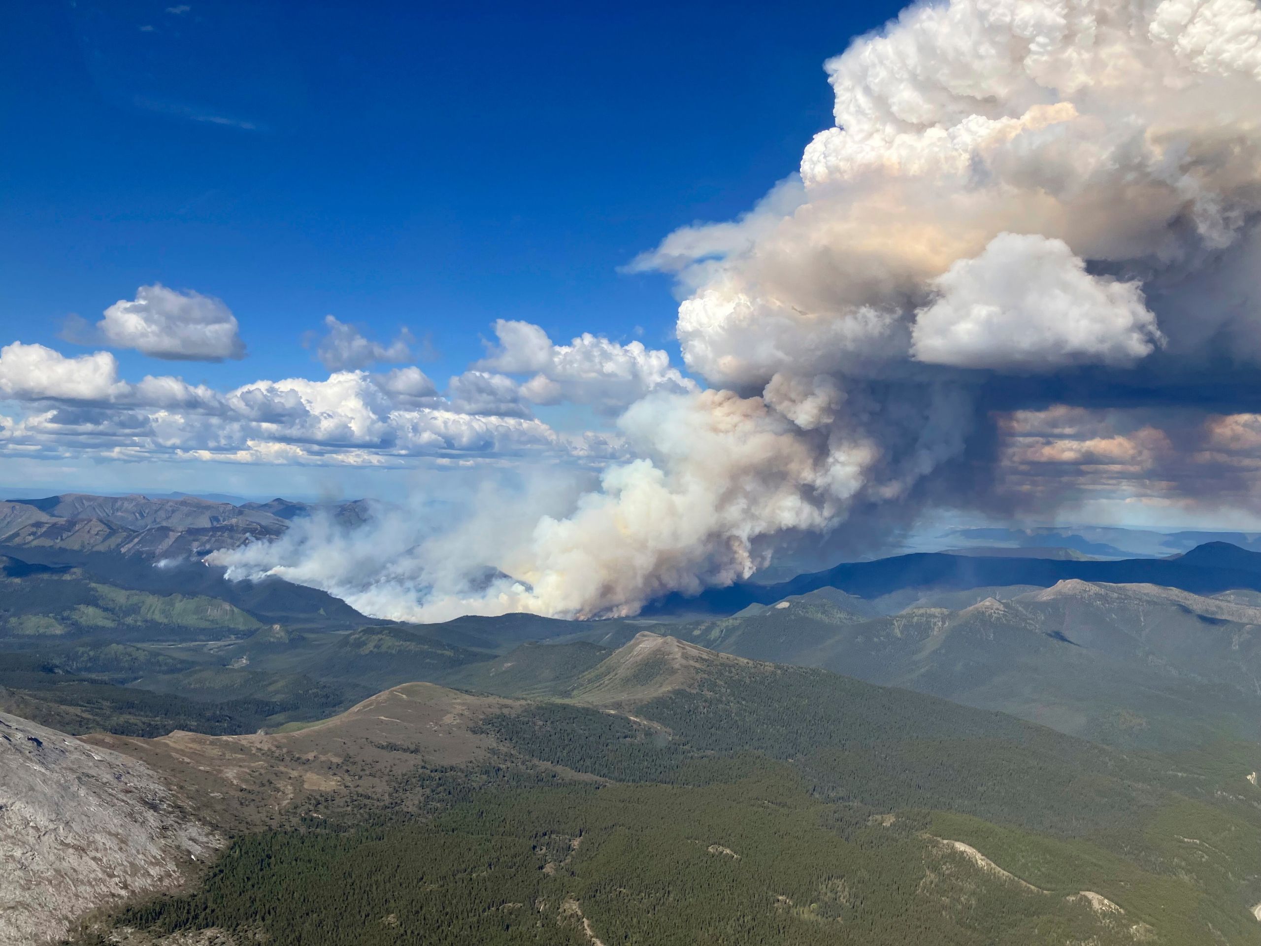
New England wildfire smoke is once again shaping the region’s skies and weather, delivering another hot, hazy day across Boston and Southern New England on Wednesday. While the smoke continues to tint the horizon and prompt air quality concerns, there’s a silver lining on the way: the sticky humidity that has made recent days uncomfortable is finally set to ease.
A Smoky Start to the Week
The pattern took hold quickly on Tuesday, when temperatures and humidity climbed into the 80s and near 90 degrees before a wave of Canadian wildfire smoke swept across the region by the afternoon. The thick smoke blocked much of the sun, casting a hazy yellowish-brown tint over the sky and absorbing the day’s peak heat.
That smoky veil actually had a cooling effect. It held temperatures roughly 5 to 10 degrees below what forecasters had predicted, with Boston topping out at 90 degrees instead of the expected 97.
What to Expect Wednesday
Another hot day is on tap for Wednesday, though the lingering wildfire smoke may again keep temperatures slightly in check. Much will depend on how much near-surface smoke remains during the early afternoon hours.
Residents can expect hazy skies returning in the morning, with some of the heavier smoke settling over parts of Southern New England, including Boston. That means a noticeable hazy tint throughout the day and scattered air quality alerts across the region.
Where the Smoke Is Coming From
The source of the haze lies far to the northwest. The smoke originates from a series of wildfires that have erupted in northern Minnesota and Ontario, Canada. These fires generate their own localized pockets of rising hot air, and once that smoke reaches the jet stream, the plume races downstream along a path that leads directly over New England.
Boston’s air quality index sat at a moderate level on Tuesday and is expected to remain moderate again Wednesday. For many in the region, the scene echoed the past two summers, when heavy Canadian wildfire smoke repeatedly drifted into the Northeast and degraded air quality.
A Passing Front Brings Light Showers
Adding to the day’s mix, a front will slide south through Southern New England, sparking scattered showers. The good news is that any rain should be fairly light.
Boston may catch a brief passing shower, though most of it is likely to occur during work hours. Still, it’s worth keeping an umbrella handy in case the front slows enough to let a shower linger into the evening commute.
Heat Stays, but Relief Is Coming
Pinning down Wednesday’s exact high is tricky given the uncertainty around haze thickness and shower timing, but temperatures across Greater Boston will likely land somewhere between 88 and 95 degrees. Some of those highs, however, may fall a bit short depending on the smoke.
The real relief comes in the form of dropping humidity. Muggy morning conditions will gradually give way to a more comfortable afternoon and evening, with dew points falling as much as 15 degrees between sunrise and sunset.
Staying Safe in the Heat
Despite the incoming drier air, caution is still warranted before the cold front fully settles in. Heat stress will remain high for most of the day, so outdoor activities call for extra care.
Another noticeable feature will be the wind. As the front passes, expect breezy conditions with winds ranging from 10 to 20 mph at times across Greater Boston and the wider Southern New England area.
Wednesday Forecast at a Glance
Here’s how the day is expected to unfold across the region:
- Greater Boston: Hot, hazy, and breezy with decreasing humidity. Highs from the upper 80s to mid-90s, with a passing shower possible.
- Central and Western Mass.: Hot with easing humidity and some wildfire haze. Highs in the mid-80s in the Berkshires and low 90s to the east, with a slight shower chance.
- Southeastern Mass.: Temperatures in the low to mid-80s, breezy with some haze and a spot shower chance.
- Cape Cod and the Islands: Upper 70s to low 80s, breezy and hazy, with an evening spot shower possible.
- Rhode Island: Hot and hazy with dropping humidity and a possible passing shower. Highs from the upper 80s to mid-90s.
- New Hampshire: A mix of sun and clouds with some haze and a spot shower chance to the south. Highs in the upper 80s and low 90s.
- Vermont and Maine: Drier air with mostly sunny skies and some haze. Highs in the upper 80s and low 90s along the coast, cooler inland.
- Connecticut: Hot and hazy with decreasing dew points and a spot shower chance. Highs from the upper 80s to mid-90s.
Looking Ahead
Wednesday brings a familiar blend of summer heat and wildfire haze, but the shift toward drier, more comfortable air offers a welcome change heading into the evening. As the smoke continues to drift in from distant fires, keeping an eye on air quality alerts and staying mindful of the heat will be key to navigating the day comfortably.
Author