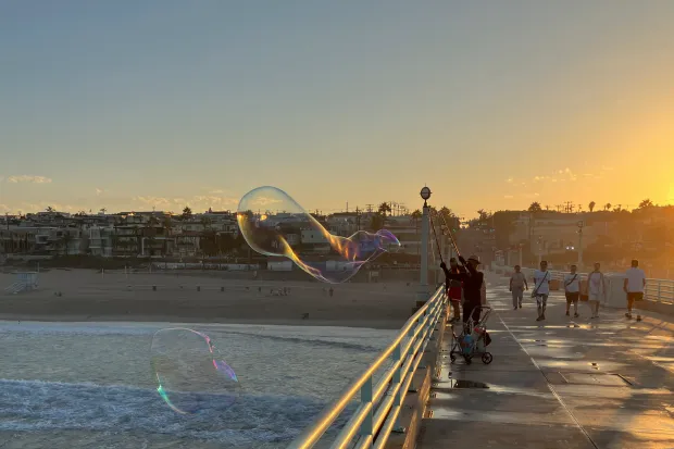
A SoCal heatwave is building this week, arriving during a summer that has already pushed much of the American West into record or near-record warmth. What makes this stretch notable isn’t just the daytime numbers but a pattern of unusually warm nights that has defined the season across California’s interior and southern regions.
A Summer Defined by Warm Nights
The broader context matters here. After a record warm winter across much of the West, the interior region has continued that trend into summer, with fire activity responding accordingly from the Southern Rockies through the Great Basin and into the Pacific Northwest.
California’s coast told a different story for much of the summer, staying comparatively mild. That has shifted in recent weeks as ocean temperatures crept higher along the coastline and inland heatwaves grew more frequent.
The curious part is why so many residents haven’t felt like they’re living through one of the warmest July-August stretches on record. The answer lies in when the heat has concentrated. Rather than scorching afternoons, the most extreme anomalies have shown up overnight, with minimum temperatures running far above normal even where daytime highs stayed closer to average.
That nighttime warmth traces to two separate sources. Along the coast, unusually warm ocean water is the primary driver. Farther inland, persistent atmospheric ridging combined with feedback effects from severe drought across the Colorado Basin has kept both day and night temperatures elevated. Expect this pattern to persist into fall, with the far North Coast potentially warming further as El Niño intensifies into September and October.
This Week’s Heat Event
A powerful late-summer ridge is building over northern Mexico and southern Arizona, with its most intense lobe extending directly over Southern California. The ridge is expected to approach records for late August, bringing remarkable warmth through the lower atmosphere.
Desert regions will bake as usual, but inland valleys across SoCal will see genuinely hot conditions too, and coastal areas may not escape entirely. Downtown Los Angeles could push into the 90s or even 100s on multiple days, while the San Fernando Valley and Inland Empire run considerably hotter. Any cooling marine influence will likely be confined to a very narrow strip right along the water.
Compounding the heat is elevated coastal humidity, a feature that has persisted much of the summer from around Santa Barbara southward, driven by warmer nearby ocean water. This week won’t bring a major monsoonal moisture surge, but a shallow humid layer sitting over the coast will occasionally push inland, particularly at night, raising heat index values and keeping overnight temperatures stubbornly high.
The trickiest health risk may actually sit a few miles inland, where humid coastal air collides with drier inland heat, creating a shifting zone of combined heat and moisture stress that can change from day to day.
A Wildcard Worth Watching
There’s meaningful uncertainty in this forecast. Some modeling, particularly the European ensemble, suggests a 30-40% chance that weak to moderate offshore flow develops midweek. If that materializes, downslope warming could push inland valleys toward or above 110 degrees, with near-100-degree readings reaching all the way to the beaches.
That scenario would also raise the possibility of strong sundowner winds along the coast below the Transverse Ranges, a combination that would sharply increase both heat-related health risks and wildfire danger. The odds remain uncertain, but it’s a scenario worth monitoring closely as the week progresses.
Tropical Moisture: A Growing Possibility for September
Looking beyond this week, California is entering the period when re-curving eastern Pacific tropical systems most commonly send remnant moisture toward the state. This year carries above-average odds, driven by unusually warm water between Southern California and the tropical development zone off Mexico, along with reduced wind shear tied to El Niño.
Activity in the eastern Pacific is picking up. Following Hurricane Lala’s damaging near-landfall in Hawaii, additional tropical systems are expected to form between Hawaii and California over the coming two weeks. Most will likely track harmlessly to the northwest. However, a growing number of ensemble model runs now show roughly a 5 to 20% chance that a weakening tropical storm or depression turns northward toward California in early September. The odds remain modest but bear watching, with additional opportunities likely later in September and into October.
Snowpack Whiplash and the El Niño Outlook
Separately, recent research offers useful context for the state’s water future. A study examining the severe 2026 Western snow drought found that historical warming made the event roughly four times more likely statewide, and about 14 times more likely in the critical Upper Colorado watershed. The associated missing snowpack water volume exceeded the entire storage capacity of Lake Mead.
Follow-up analysis suggests that while average Western snowpack has declined about 25% since the 1980s, year-to-year variability has increased by 44%, with the swings between extreme years growing by more than 80%. Nearly all of that added variability comes from a sharp rise in extremely low-snow years, while high-snow years haven’t disappeared.
Meanwhile, El Niño has already developed and is strengthening rapidly, likely peaking between October and December at very strong or historic intensity. California’s main impacts probably won’t arrive until November or December, but forecasters currently favor a wetter than average winter, along with elevated risk of coastal flooding during King Tides and storm events, and a real chance of individual extreme precipitation episodes capable of flooding rivers and streams.
Author