

Minnesota Severe Weather Threatens Overnight Storms Across Western Counties
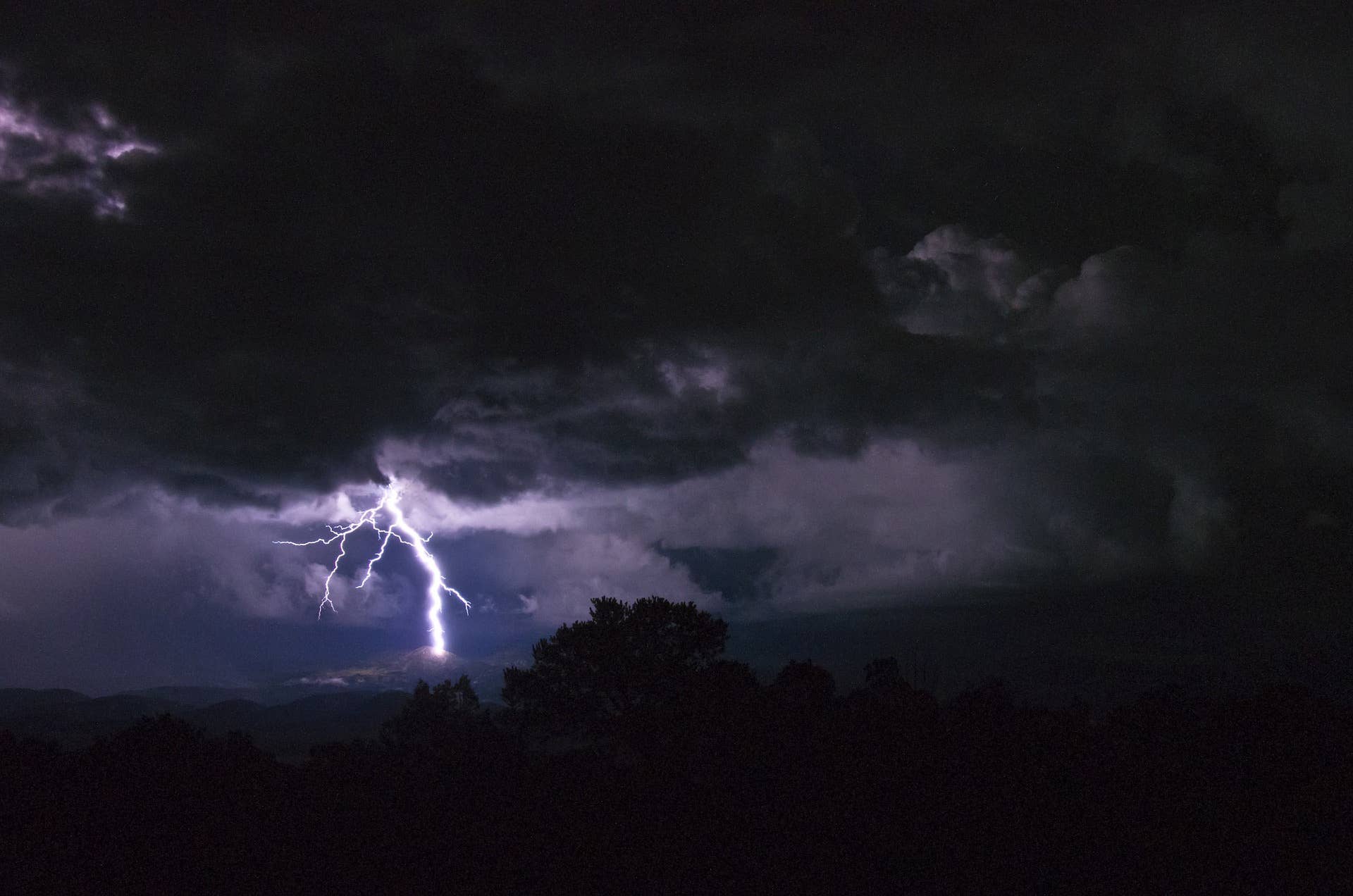
Minnesota severe weather is on the radar tonight, as a hot and humid Tuesday sets the stage for potentially dangerous storms overnight across parts of the state. The National Weather Service has issued multiple watches, signaling that residents in western and southwestern Minnesota should stay alert as conditions develop through the early morning hours.
For now, the most serious threats are concentrated away from the Twin Cities metro, though that could shift as the weather system pushes eastward.
The Watches in Effect
Two separate watches are currently active, each covering different areas and carrying different levels of concern.
A Tornado Watch is in place until 3 a.m. Wednesday for parts of far southwestern Minnesota. The counties included are:
- Cottonwood
- Jackson
- Lincoln
- Lyon
- Murray
- Nobles
- Pipestone
- Rock
Separately, a Severe Thunderstorm Watch extends until 4 a.m. Wednesday and covers a broader region spanning parts of Minnesota, North Dakota, and South Dakota. Within Minnesota, the watch stretches across far western and northwestern areas. It reaches as far south as the area near Marshall and includes communities such as Montevideo, Morris, Alexandria, Wadena, and Detroit Lakes, along with the Fargo-Moorhead area, and extends north to Roseau.
Importantly, neither watch currently includes the Twin Cities metro or its surrounding counties.
What to Expect Overnight
The overnight hours could bring the full spectrum of severe weather to the affected regions. Forecasters warn that the storms may produce:
- Damaging straight-line winds, with gusts exceeding 60 mph
- Brief, isolated tornadoes
- Large hail, in some cases reaching 2 to 3 inches in diameter
- Localized heavy rain that could lead to flooding
These threats underscore why officials are urging residents in the watch areas to remain prepared and keep an eye on updated alerts as the night progresses.
How the Storms Are Expected to Move
The system originates in the Dakotas, where thunderstorms are expected to fire up Tuesday evening. From there, the storms will track into western Minnesota around midnight before gradually spreading east through the overnight hours.
Timing varies by region. The greatest storm chances run from roughly 10 p.m. to 4 a.m. across western and central Minnesota, while the Twin Cities metro faces its highest risk slightly later, between about 1 a.m. and 5 a.m.
The risk levels also differ depending on location. Western and central Minnesota fall under a level 2 slight risk and a level 3 enhanced risk, indicating a more significant threat. The Twin Cities metro, by contrast, sits under a lower level 1 and level 2 risk.
The primary danger across the board is damaging wind gusts topping 60 mph. Hail ranging from about half an inch to an inch and a half is also possible, along with pockets of heavy rain. While the chance is extremely low, forecasters can’t completely rule out a quick, isolated tornado spinning up.
The Uncertainties
As with any developing weather situation, some questions remain. Forecasters expect the storms to lose strength as they move east into a more stable atmosphere, but they could still deliver strong winds and heavy rain overnight.
How these storms ultimately behave carries added importance, because their evolution may shape whether a second round of severe weather develops later on Wednesday. In other words, tonight’s activity could set the tone for what comes next.
Looking Ahead to Wednesday
The unsettled pattern won’t end with the overnight storms. Wednesday is expected to stay warm and humid, with patchy sunshine giving way to additional storm chances that build through the afternoon and evening.
The focus of concern also shifts. By Wednesday, the Twin Cities metro, much of Wisconsin, and parts of Iowa and Illinois fall under a level 3 enhanced risk for severe weather. That setup brings the potential for damaging winds, large hail, and isolated tornadoes across a wider area, meaning residents who avoid the worst of tonight’s storms may still need to stay weather-aware heading into the next day.
Staying Safe
With watches active overnight and another round of storms possible on Wednesday, the key takeaway is preparedness. Residents in the affected areas should keep devices charged, have a reliable way to receive alerts, and be ready to take shelter quickly if a watch escalates to a warning. Conditions can change rapidly with overnight storms, and staying informed remains the best defense against whatever the system brings.
Author