A Houston Gulf disturbance is drawing forecasters’ attention this week, with the potential to organise into a tropical depression or tropical storm before it reaches the Upper Texas or southwestern Louisiana coastline. The main consequence for Southeast Texas will be a sharp jump in rainfall on Tuesday and Wednesday.
The KHOU 11 Weather Impact Team has designated both days as Weather Impact Alert days, citing rounds of rain and thunderstorms capable of producing heavy downpours and localised flooding.
Monday: The Transition Begins
Monday functions as a setup day. Deeper tropical moisture starts filtering into the region, but the atmosphere has not fully switched over yet.
Expect a mostly dry day with an isolated shower or thunderstorm possible, roughly a 20 percent chance of rain. Highs climb into the mid 90s, so the heat remains firmly in place.
Coverage and intensity should build overnight into Tuesday as the system edges closer to shore.
Tuesday and Wednesday: The Alert Days
This is when conditions change meaningfully.
Rain chances rise to 70 percent on both days, with periods of rain and thunderstorms spreading across Southeast Texas. Some cells could unload tropical downpours, the kind that dump a lot of water in a short time and overwhelm drainage quickly.
The practical concerns:
- Localised street flooding, particularly in poor-drainage areas
- Difficult morning and afternoon commutes
- Gusty wind with stronger storms
- Possible power outages
One important caveat: exactly where the heaviest bands set up depends on the storm’s track and how well it organises. Rainfall totals could shift as the system evolves, so forecasts issued today may look different by Tuesday afternoon.
A Break From the Heat
There is one welcome side effect. Thick cloud cover and steady rain will knock temperatures down noticeably.
Highs should land around 90 on Tuesday and in the low 90s Wednesday. Compared with the upper 90s and triple digits Houston has been enduring, that is a real reprieve, even if it comes packaged with wet roads.
Thursday Through the Weekend
The heaviest activity should push out after Wednesday.
- Thursday: scattered showers and storms, about a 40 percent chance
- Friday: coverage drops to around 30 percent
- Saturday and Sunday: roughly 20 percent
As the rain retreats, the heat rebuilds. Highs return to the mid 90s by the weekend.
Tropical Update: What the Hurricane Center Is Watching
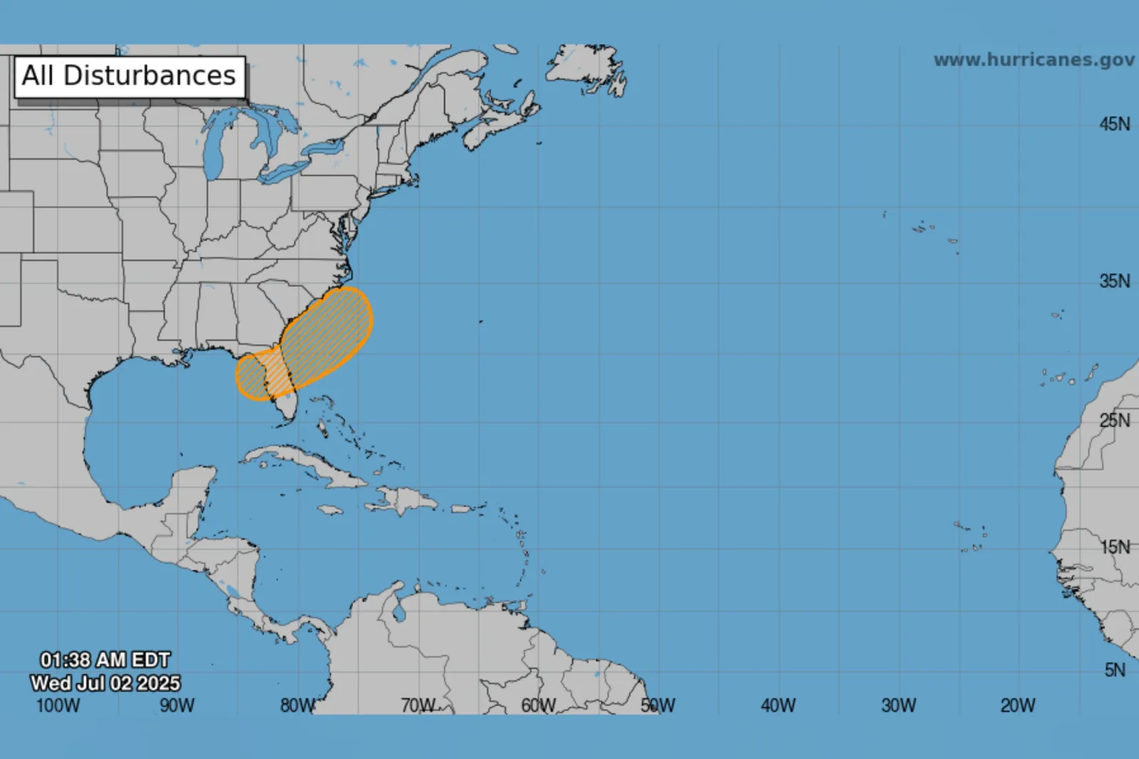
The National Hurricane Center is tracking an area of low pressure in the northern Gulf, and the odds of development have climbed to 70 percent.
Forecasters describe the likely outcome as a short-lived tropical depression or tropical storm forming as the system drifts west-northwest toward the Upper Texas or southwestern Louisiana coast on Tuesday or Tuesday night.
Whether it earns a name matters less than most people assume. Naming reflects wind organisation, not rainfall. A disorganised, unnamed system can produce more flooding than a tidy tropical storm if it stalls or trains rain over the same corridor.
For the Houston area specifically, the primary threats are heavy rain and gusty wind, with flooding and outages as secondary concerns.
Also on the Radar: Dolly’s Remnants
Separately, forecasters continue to monitor the remnants of Tropical Storm Dolly, currently moving westward through the Caribbean.
Redevelopment appears unlikely in the near term. However, the Hurricane Center notes that conditions could turn more favourable around midweek as the system reaches the southeastern Gulf. Its development odds sit at 20 percent over the next seven days.
That places Dolly in the watch-and-wait category rather than the prepare-now category, at least for the moment.
How to Get Ready
None of this calls for alarm, but a bit of preparation goes a long way when tropical moisture parks over a flood-prone metro area.
- Clear leaves and debris from storm drains near your property
- Build extra time into Tuesday and Wednesday commutes
- Avoid driving through flooded underpasses or low-lying streets, regardless of how shallow the water looks
- Charge phones and backup batteries before Tuesday evening
- Keep flashlights accessible in case of outages
- Move vehicles off low ground where possible
- Check forecast updates in the morning rather than relying on a two-day-old outlook
The old advice still applies: turn around, don’t drown. Most flood fatalities involve vehicles, and water depth on a road is almost impossible to judge from behind the wheel.
The Bottom Line
Southeast Texas is heading into a wetter and cooler stretch driven by a Gulf system that may or may not get a name before it arrives. Tuesday and Wednesday carry the highest risk of heavy rain, flooding on streets, and gusty wind. Conditions ease from Thursday onward, and by the weekend the region returns to typical late-summer heat.
The forecast still has room to shift, so keep an eye on updates as the system approaches the coast.
Author