Whether 2026 becomes the hottest year on record is now genuinely uncertain, which is itself a notable statement. Climate researchers have watched the odds climb steadily through the year as a rapidly strengthening El Niño layers onto the underlying warming trend, and several say the more concerning possibility is what comes after.
The Current Assessment
Berkeley Earth climate scientist Zeke Hausfather estimates roughly a 35% chance that 2026 will exceed 2024 as the warmest year ever measured.
That number has been rising since spring. Hausfather attributes the increase to forecasts for a historically strong El Niño becoming more confident as the year has progressed.
A 35% probability is not a prediction that the record will fall. It does mean the possibility has moved from remote to plausible in a matter of months, which is the direction that matters.
Scientists disagree on whether 2026 will ultimately claim the title. There is broader agreement on the trajectory, with many expecting 2027 could run hotter still.
What This Summer Has Looked Like
The statistical debate sits on top of conditions that have been difficult to ignore.
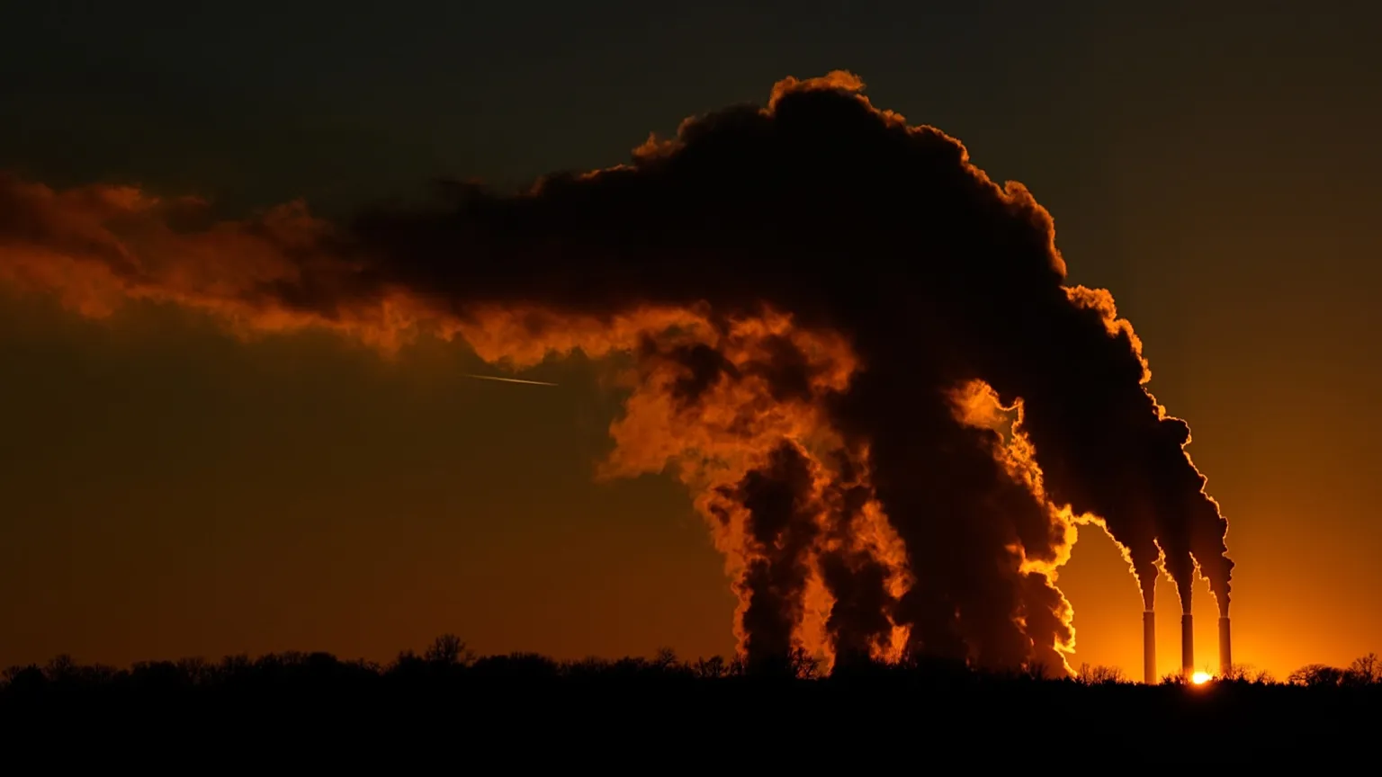
Destructive wildfires have burned across both North America and Europe. Prolonged heat waves have affected millions of people across multiple continents. Ocean temperatures have reached levels unprecedented for this point in the calendar.
Researchers describe these conditions as expressions of long-term warming driven by greenhouse gas emissions, with El Niño expected to push temperatures further as the year continues.
Understanding the Two Forces at Work
It helps to separate the two mechanisms, because they operate differently.
The underlying warming is a steady upward trend produced by accumulated greenhouse gases in the atmosphere. It does not fluctuate year to year in any meaningful way. It simply continues.
El Niño is a periodic redistribution. During an El Niño phase, the Pacific Ocean releases heat it had been storing into the atmosphere, temporarily raising global average surface temperature. It does not add heat to the system so much as move it into a place where thermometers register it.
Record years typically require both. A strong El Niño arriving on top of an elevated baseline produces the spikes that break records, which is why 2024 stood out and why 2026 is now in contention.
Why Ocean Temperatures Matter Most
Of everything being tracked, ocean heat may be the most consequential indicator, though it receives less attention than land temperature records.
The oceans absorb the overwhelming majority of excess heat trapped by greenhouse gases. That absorption has moderated surface warming considerably, which means the atmosphere would be substantially hotter without it.
Unusually warm oceans carry several implications:
Stronger tropical storms, since warm water provides the energy that fuels them
Coral bleaching, which occurs when temperatures exceed thresholds reefs can tolerate
Disrupted marine ecosystems and fishery patterns
Reduced capacity to absorb additional heat going forward
That final point is what makes ocean warmth a forward-looking indicator rather than merely a current condition. Heat stored in water eventually returns to the atmosphere.
The Case for Watching 2027
The expectation that 2027 could exceed 2026 rests on how El Niño events typically play out.
These cycles do not deliver their full atmospheric effect immediately. There is a lag, and the calendar year following the peak of a strong El Niño often registers hotter than the year the event began.
If the current El Niño reaches the strength forecasters anticipate, that pattern would place the higher temperatures in 2027 rather than 2026.
That is a projection based on historical behavior, not a certainty. Atmospheric systems are complex enough that expected patterns sometimes do not materialize.
What Records Actually Tell Us
There is a reasonable criticism that annual temperature records receive disproportionate attention. A single year exceeding another by a fraction of a degree is not, on its own, the story.
The trend is the story. Records fall because the baseline keeps rising, which means each El Niño produces a higher peak than the one before it, and each La Niña year produces a floor higher than previous floors.
What has changed recently is that years once considered exceptionally hot have become unremarkable. That shift in what counts as normal is more meaningful than any individual ranking.
Where Attention Has Gone
Reporting on this year’s conditions has noted that global warming has slipped down the political agenda even as physical indicators intensify.
That gap between measurement and attention is not new, but it becomes more pronounced during periods when other crises dominate coverage. Climate change operates on timescales that rarely align with news cycles, which makes sustained focus difficult.
The scientists tracking these numbers are not predicting anything sudden. Their message is considerably more mundane and, in its way, harder to absorb: the trajectory continues, the peaks keep climbing, and the years ahead are expected to look like this one or warmer.
Author
-
Lucienne Albrecht is Luxe Chronicle’s wealth and lifestyle editor, celebrated for her elegant perspective on finance, legacy, and global luxury culture. With a flair for blending sophistication with insight, she brings a distinctly feminine voice to the world of high society and wealth.